
Charles Town Neighbor Record Layers
No public source supplies a complete roll of every person on a Charles Town block. The county parcel map outlines nearby lots and may show an owner search result. Deeds and plats verify title and legal boundaries. Election records define districts and limited voter facts, while community sites describe the neighborhood. Each layer answers a narrow question and carries its own access limit.
| Source | What It Shows About a Block | Access |
|---|---|---|
| Jefferson Parcel Viewer | Parcel shapes, map position, address search and visible owner context | Free public viewer; verify with Assessor |
| Deeds and recorded plats | Owner chain, lot, easements and common areas | Document Inquiry or County Clerk |
| Election geography | Precinct and district context, not an open address list | County Elections maps and lawful records request |
| Neighborhood organizations | Public board contacts, notices and community rules | Public pages; member areas restricted |
| Historic maps and directories | Earlier footprints, uses and likely past households | Archives, Library of Congress and local appointments |
A legal owner may live elsewhere, and a tax mailing address may point somewhere other than the property. Renters and other household members may never appear in the parcel record. Record the exact source date and label every person as owner, possible occupant, public official, or organization contact. That keeps a Charles Town neighbor lookup from overstating what the source proves.
Click Across Charles Town Parcels
The Jefferson County Parcel Viewer accepts parcel ID, owner, and address-style input. After accepting “I Understand,” search one known address and zoom close enough to distinguish the lots that touch it. Click outward one parcel at a time. Side, rear, and corner lots form different relationships, and a road or common tract may interrupt apparent adjacency.
The map includes search, parcel layers, and a print-without-basemap option. Its disclaimer says data may be inaccurate, incomplete, or changed and is not a legal survey. Use the view as a research snapshot. Ask the Assessor to confirm an official parcel card, and use the recorded plat or deed whenever the boundary or owner matters.
The county ownership guidance makes the office split explicit: GIS/Addressing does not provide ownership information and sends those questions to the Assessor. A visible owner label helps locate a record, but it is not a claim about the current household.
The current parcel viewer illustrates the block interface:
Open the official Jefferson County Parcel Viewer source before using the captured view.
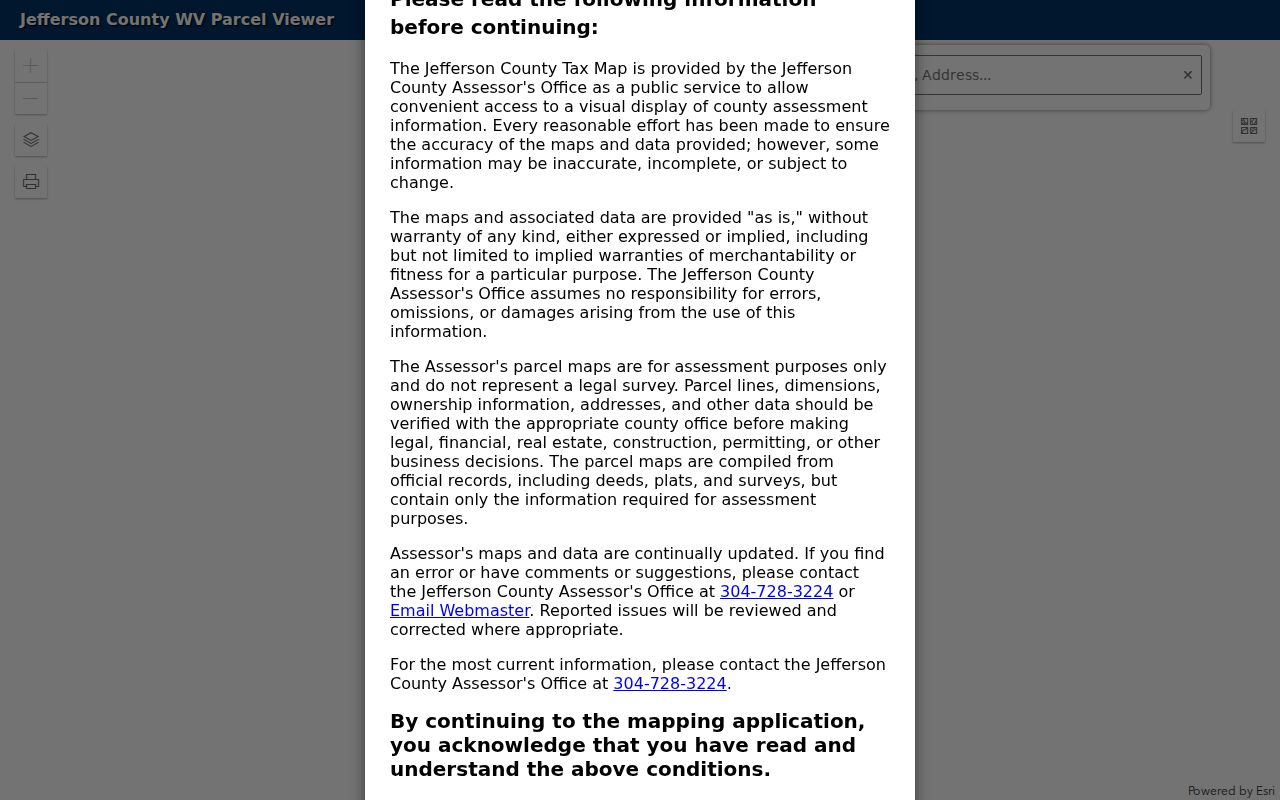
The screenshot shows the official mapping surface used to move from one address to nearby parcels; live data and layers should always be checked again.
Map Charles Town Neighbors Outward
A short, repeatable flow prevents a block search from growing into an unsupported list. Work from the known parcel to the nearest boundaries, then confirm only the records needed for personal, lawful research.
- Find the starting address and copy its parcel ID, district, map, parcel, and situs address.
- Identify parcels sharing a side or rear line, then check corner and across-road lots separately.
- Record the visible owner result and mailing address only as fields to verify with the Assessor.
- Check a deed or recorded plat for lot lines, easements, alleys, and common parcels.
- Date the map snapshot and stop at the immediate block unless the research question truly requires more.
A homestead flag, if shown on an official card, can support a claimed owner-occupied tax status but still is not final proof of residence. For the full named-road chain rather than one immediate block, use the Charles Town street directory workflow.
Read Charles Town Block Plats
Parcel geometry can be misleading where a subdivision has common land, private roads, access strips, or irregular lots. The Jefferson County Clerk keeps recorded deeds and plats. A plat is a recorded drawing that lays out lots, blocks, roads, easements, and measurements. An easement is a legal right to use part of another parcel for a stated purpose.
Start with the subdivision and lot clues from the parcel map. Search the Document Inquiry route, then cite book and page and request the official record when needed. Michael D. Thompson’s calendar and index to recorded survey plats from 1801 through 1901 can help translate older lot descriptions into modern streets. Plats establish land relationships, not the identity of every nearby resident.
Note: A parcel touching only at one corner is not the same relationship as a shared side or rear boundary.
Charles Town Neighborhood Contacts
Public community pages can explain shared rules, meeting channels, and the identity of an organization. They should not be treated as household directories. Charles Town research found two named association sites and a statewide umbrella group, while Huntfield appeared as a neighborhood reference without a verified public resident roster.
Beallair
Beallair Community Conservancy publishes general HOA context and resident notices. The gated community has Washington-family plantation history, but member material requires authorized access.
Ryans Glen
Ryans Glen HOA provides a board email, meeting context, Charles Town address, and member login. The login is not a public neighbor list.
WVOHOA
West Virginia Organization of Homeowners Associations offers public toolkits and a Charles Town mailing address. Some member resources are restricted.
The Beallair source is also shown in the successful project capture. Visit the linked association page first, then use the image as a dated view of its public-facing community material.
Review the Beallair community source for current notices and access rules.
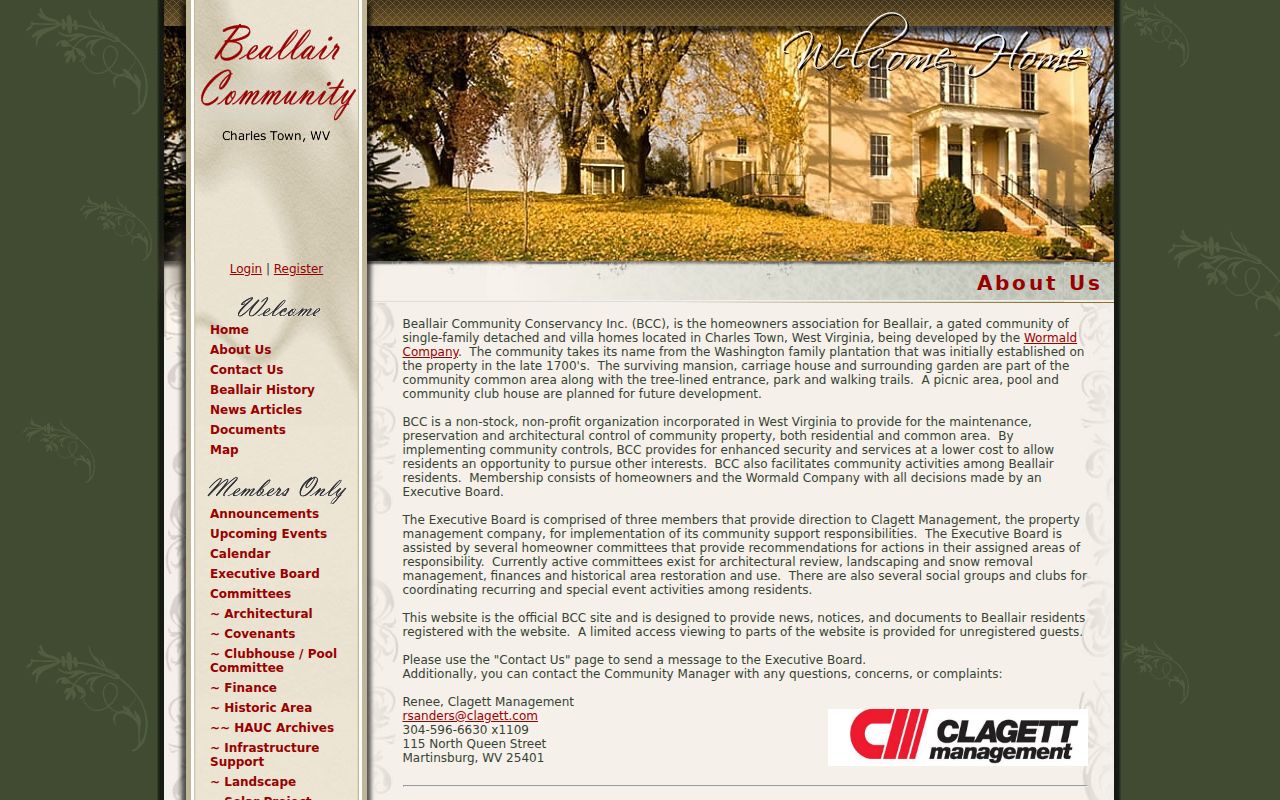
The capture reinforces the boundary between public organization information and resident-only notices.
Charles Town Neighbor Voting Geography
The state’s “Am I Registered to Vote?” tool is an individual self-check that requires first name, last name, and date of birth. It returns registration status, party, districts, and polling place. It is not a way to enter a street and list Charles Town neighbors. The public voter-file rules also withhold sensitive identifiers and restrict commercial use, solicitation, sale, and resale.
For block context, use the Jefferson County Elections office for precinct and district maps. A specific lawful request for a public file must follow county instructions and West Virginia Code §3-2-30. The county office, public inspection route, and formal request process are the fallbacks when the self-lookup cannot answer a geography question.
Historic Charles Town Neighbor Blocks
Old Charles Town, Downtown Charles Town, and South Charles Town have distinct building eras. Old Charles Town holds many late Colonial and Federal structures. Downtown West Washington and North George show later commercial blocks, while South Charles Town includes large late nineteenth and early twentieth-century houses. East Liberty, Mildred, and South Charles Town also contain Foursquare and bungalow groupings.
Those patterns help select the right map year. The Library of Congress hosts an October 1885 Charles Town Sanborn map, and the local guide lists sheets from 1892 through 1933. Compare footprints and uses, then test names in directories, deeds, newspapers, or census schedules. Historical neighbors are a dated reconstruction. A map does not show every household and should never be projected into the present.
Check Charles Town Block Boundaries
A Charles Town postal label does not prove that every parcel on a block lies inside the incorporated city. Jefferson County’s addressing rules can use a USPS postal community and ZIP for the town portion of an address even outside municipal limits. City zoning, county planning, election districts, postal routes, and parcel geography are separate layers. Verify the parcel first, then consult the city’s zoning and annexation maps before assigning a city office or neighborhood label.
The distinction affects records access. Charles Town Community Development keeps city permits, zoning, and code files. Jefferson County Planning and Zoning handles county matters, while GIS/Addressing maintains road and address references. A block can also cross a precinct line or contain a common parcel that belongs to an association rather than an individual household. Record each boundary source and its date.
A newer county map shows how many layers can overlap. The August 2026 Valley Link mapping release describes study segments displayed with parcels, neighborhoods, historic resources, zoning, land use, right-of-way, and quarter- and half-mile buffers. The county warns that proposed locations are approximate and are not final routes. That tool can supply block context, but it cannot replace a deed, survey, zoning decision, or direct check of who your neighbors are.
Official Charles Town Neighbor Sources
Commercial neighbor tools may merge stale addresses and people with similar names. Official sources are narrower, but their fields, dates, and custodians are visible. That makes them easier to check and correct.
| Source type | Useful for | Main limit |
|---|---|---|
| Assessor, deed and plat records | Parcel, owner, title and legal geography | Owner does not equal occupant |
| Election and district records | Precinct context and an individual registration check | No open block-by-block household search |
| Community organizations | Public contacts, meetings and common-area context | Member lists may be private |
| Commercial compilations | Possible leads | Stale, merged, unclear, or unsupported matches |
When an official parcel field appears wrong, contact the Assessor. A deed issue belongs with the Clerk. Organization information should be corrected through the group itself. Keep the source date and avoid republishing private details.
Respect Charles Town Neighbor Privacy
Parcel and deed records do not create a right to expose a household. Renters, children, roommates, utility customers, and delivery details are not a public block directory. Sealed files, protected voter fields, and confidential vital records remain restricted. The West Virginia Address Confidentiality Program can provide an eligible participant with a substitute address for government transactions, including voting.
Never try to work around a substitute address or a restricted member area. The Charles Town Utility Board publishes civic board agendas and minutes, but customer accounts are not public people records. Public safety research should rely on the exact official source and its disclaimer, not rumor or a map-based guess.
Lawful use. Use Charles Town neighbor records for civic curiosity, reconnection, property questions, and personal safety. Never watch, threaten, intimidate, or harass someone with public information.